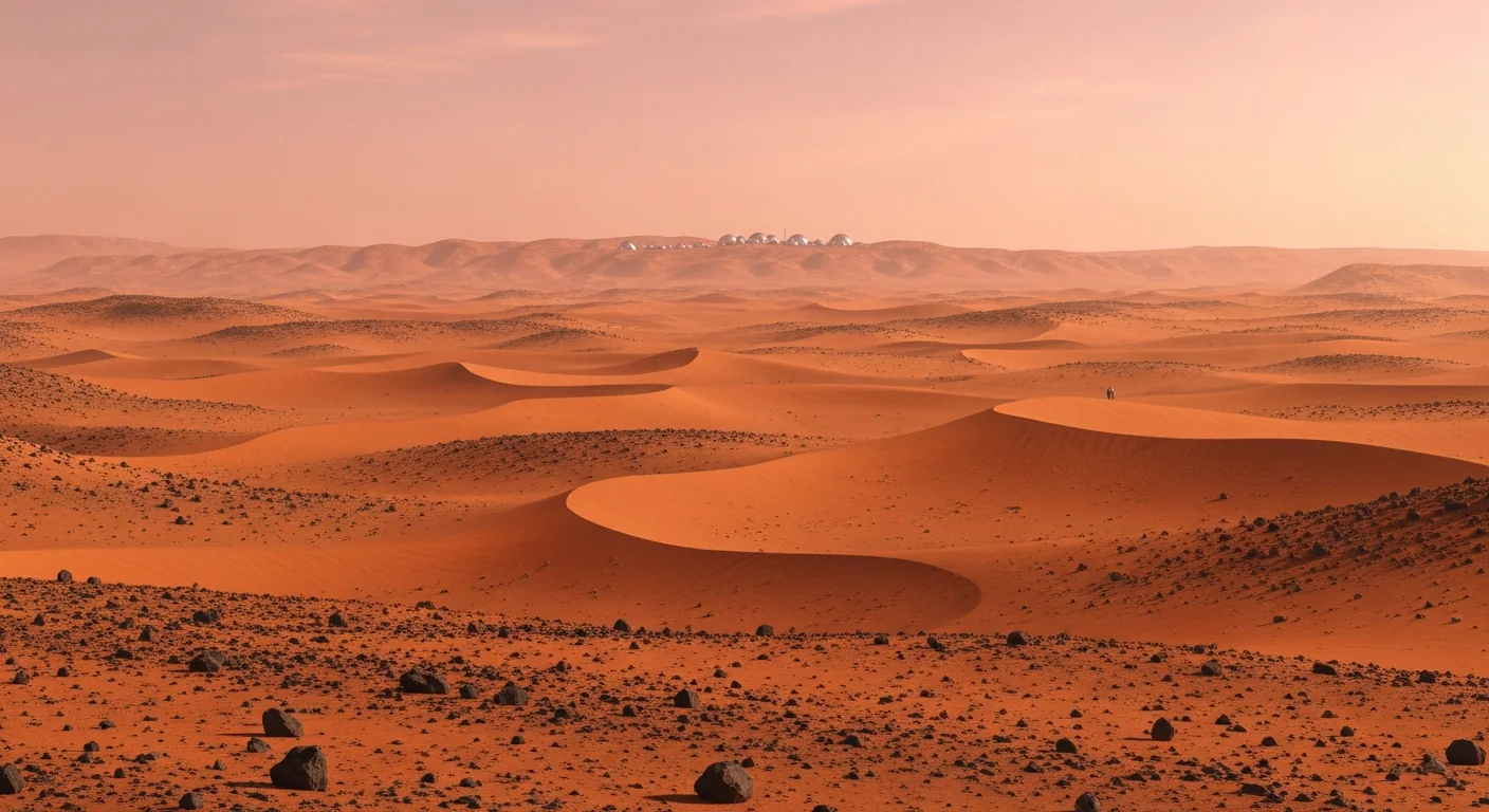
Mars, read the way a homesteader reads land.
A planet is not a uniform red dot. Mars has climate zones, seasons, buried water, deep basins and high deserts — which means it has good ground and bad ground, just like Earth. This is our working atlas of where the land is worth claiming, and why. Honest about the science, honest about the law.
Mars has real estate, not just real estate jokes.
The novelty-deed sellers treat Mars as one flat gimmick — pick a random pixel, get a worthless certificate. We treat it the way the first surveyors treated a new continent: some ground has water, sun and a future under it; most does not.
Three things decide whether a patch of Mars is worth standing on: water you can reach, sunlight for power, and air you can brake a ship through and stand a habitat on. They don't all peak in the same place, which is exactly why location matters — and why a claim sited on credible ground is stronger than one dropped at random.
Does Mars have temperature differences like Earth?
Yes — driven by the same forces, only sharper. Mars is tilted 25.2° on its axis, almost exactly like Earth's 23.4°, so it runs a full cycle of spring, summer, autumn and winter. Because its orbit is more egg-shaped than ours, southern-hemisphere seasons are shorter and more extreme than northern ones.
Latitude matters as it does on Earth: the equator is warm, the poles are buried under frozen carbon dioxide and water ice. But the difference that defines Martian life is day versus night. With barely any atmosphere to hold heat, a single spot can reach +20 °C (70 °F) at noon and crash to −80 °C by nightfall — the same ground, the same day. Earth never does that.
Is there a "tropical" Mars?
In the literal sense, yes: the band roughly 25° north to 25° south is the warmest and sunniest ground on the planet — Mars's tropics, the only place daytime summer temperatures climb above freezing. But the tropics end at sunset. There is no warm humid night, no liquid water at the surface, no green. It's a warm floor for a few hours, then the deep cold returns.
So where is the weather actually "better"?
Three levers move a region from brutal toward merely harsh, and the best ground combines them:
- Low elevation means thicker air. More atmosphere softens the temperature swings, makes landings safer, and raises pressure. The deepest basin, Hellas Planitia, carries roughly double the planet's average surface pressure.
- Near the equator means warmth and power. More sun, warmer afternoons, stronger solar generation.
- Subsurface ice means survival. This pulls you away from the equator toward the mid-latitudes, where shallow buried ice is widespread.
There's the tension that defines Martian real estate: warmth pulls you to the equator, water pulls you to the mid-latitudes. The sweet spot is low-lying northern mid-latitudes (~30–45°N) — warm enough for decent sun, with ice you can actually dig for.
Where every rover and lander touched down
Almost every successful mission hugs the equator — on purpose. Equatorial ground is warmer for the electronics, gets more sunlight for solar panels, and sits low enough for a safe atmospheric landing. The result is a tight "rover belt" within about 25° of the equator. The exceptions prove the rule: Phoenix went to 68°N specifically to dig polar ice — and died when winter froze it.
An ancient river delta — the heritage address of the current era and the source of the samples a future mission will return to Earth.
A 5-km layered mountain of Martian history, still being climbed. The most-studied stratigraphy on the planet.
Chosen for being the flattest, safest, most boring plain available — perfect for a seismometer, and a clue to where ships like to land.
Vast northern plain visited twice, decades apart — with buried ice mapped beneath it. A bridge between the rover belt and the settlement belt.
Where the first city will actually be built
The rover belt (±25°)
- Warmest days, strongest sun
- Easiest, safest landings
- Famous, explored, photogenic ground
- But: little reachable water ice near the surface
- Great for science and for a trophy claim
The settlement belt (~30–45°N)
- Vast shallow water ice you can mine
- Low, flat plains — heavy ships can still land
- Enough sun to run a base
- Water makes rocket fuel, air and drinking water on-site
- This is where a real town grows
A Mars base can't truck its water and fuel from Earth — it has to make them on arrival from buried ice. That single requirement drags the first settlement off the warm equator and up into the northern mid-latitudes. The region named most often by mission planners is Arcadia Planitia (~30–45°N): low elevation for braking heavy ships, smooth flat ground for landing, and some of the most abundant shallow ice on the planet. Its neighbours — Erebus Montes, Deuteronilus Mensae, Phlegra Montes, Amazonis Planitia — share the same recipe and appear on the same shortlists.
The region scorecard
The same regions, graded the way you'd grade a parcel — on the things that decide whether ground is worth working. High is good. Click any region for the full deep dive.
| Region | Water | Power | Air pressure | Landing | The view | Best claimed as |
|---|---|---|---|---|---|---|
| Arcadia Planitia★ Flagship · ~40°N | High | Medium | Medium | High | Low | The pragmatic capital — most likely first-city ground. |
| Deuteronilus MensaeGlacier country · ~44°N | High | Medium | Medium | Medium | High | Buried glaciers under dramatic mesas — water plus scenery. |
| Hellas PlanitiaLowest ground · ~42°S | Medium | Medium | High | Medium | Medium | The highest air pressure on Mars — the deep-basin play. |
| Elysium PlanitiaThe flat plain · ~5°N | Low | High | Medium | High | Low | Sunniest, safest landing — but dry. A landing-field claim. |
| Jezero CraterHeritage · ~18°N | Medium | High | Medium | Medium | High | The famous delta — a heritage address everyone knows. |
| Valles MarinerisThe great canyon · ~14°S | Medium | High | High | Low | High | Deep air and the trophy view — rough to land, glorious to own. |
| Olympus MonsTallest volcano · ~18°N | Low | High | Low | Low | High | Pure trophy — the highest summit in the solar system. |
When does Mars actually get settled?
Our working timeline — from the Moon as a proving ground to a Martian town with a claim registry. Every step is tagged so you can tell what is already happening from what is our projection. The dates are best guesses and will move; the sequence is the reliable part.
The order is set by physics, not preference. The Moon is three days away; Mars is six to nine months away, and you can only leave on the roughly 26-month launch windows when the two planets line up. So crews and heavy equipment reach the Moon first — it is the rehearsal for living off Earth — and the same generation of giant rockets (SpaceX's Starship is the clear front-runner) then carries cargo and, later, people on to Mars. A Mars-bound ship doesn't stop at the Moon: the Moon is the practice ground, Mars is the destination.
The Moon, first HappeningIn progress
Heavy-lift rockets are being flight-tested and refuelling in orbit is being proven right now. NASA's Artemis program returns crews to the Moon — a crewed flyby, then a landing — using the very Starship vehicle class destined for Mars. Equipment and people go to the Moon first because it is close enough to fail safely and learn fast.
First cargo to Mars — uncrewed Projection
On an early launch window, the first robotic Starships are aimed at Mars to prove a heavy ship can land intact and to pre-position supplies and power. No people yet — just hardware testing the hardest single step: arriving in one piece.
The first humans land Projection
The first crewed flights — small, costly, mission-style. The job is to stand up the first base and turn buried ice into water, breathable air and rocket fuel on-site, so the next ships have something to arrive to. This is flags-and-footprints turning into foundations.
Regular, bookable transits Projection
Departures every launch window become routine — think of it like Starlink's cadence, only on a planetary scale and vastly more expensive. For the first time you could actually book passage: settlers and cargo, not just astronauts, on a published schedule.
A permanent colony Projection
Continuous human presence that no longer empties out between windows — a real settlement growing on the ice-rich northern plains around Arcadia Planitia, with industry, agriculture under cover, and the first people who intend to stay for good.
Claims get “regularized” Projection
Once people genuinely live on Mars, the legal vacuum starts to fill. Today the Outer Space Treaty bars any nation from owning territory, so no enforceable title exists — but a settled planet creates pressure for some recognised registry or homestead framework to emerge, just as frontier law on Earth followed the settlers rather than preceding them.
Credible ground makes a credible claim.
A homestead claim is only as strong as the good-faith intent behind it. "I claim a random red pixel" is a novelty. "I claim flat, ice-rich ground at Arcadia Planitia, where the first settlements are most likely, and here is the resource memo that says so" is a documented, defensible position — the strongest forward claim a person can make today.
That's the whole reason we map the planet honestly before we let anyone plant a flag. Choosing where to stake your parcel is the first real decision of a homestead — so we give you the science to make it well, not a dartboard.
Want the science
This atlas grows over time — region-by-region deep dives, water maps, and a live "weather by parcel" read are on the way.
Ready to choose ground
Open the survey tool, drop onto real NASA terrain at any latitude, and stake a parcel where you'd actually want to homestead.
Survey a parcel on real Mars terrain → See our flagship frontiers
Everything you need to choose ground well.
The Mars file is a working library, not a brochure. Here is the rest of it — the timeline, the climate science, the region files, and the tools to actually stake a parcel.
When Mars gets colonized
Moon proving ground → first cargo → first crew → scheduled flights → a permanent colony → the day land claims get regularized. Year by year, with science and projection kept clearly apart.
See the timeline ↑Living off the land on Mars
How settlers make power, water, breathable air, rocket fuel, radiation shielding and metal from Martian ice, air and regolith — the in-situ resource utilization that turns a parcel into a place you can actually work.
Read the ISRU deep dive →Climate by latitude
Why Mars has seasons and a “tropical” belt, how far the temperature swings between noon and night, and where on the planet the weather is least hostile to live.
Read the climate file ↑The region scorecard
Seven candidate regions graded like parcels — water, power, air pressure, landing safety and the view — so you can see at a glance what each one is best claimed as.
Compare the regions ↑Flagship: Arcadia Planitia
The full file on the region most likely to host the first city — plus standalone deep dives on Deuteronilus, Hellas, Jezero, Valles Marineris, Olympus Mons and Elysium.
Open the region files →Survey a parcel
Drop onto real NASA terrain at any latitude, lay out a plat over ice-rich ground, and stake the parcel you'd actually want to homestead.
Open the survey tool →The 19-instrument claim file
What actually turns a chosen parcel into a documented, publicly-published possession claim — the strongest forward claim a person can make today.
See what's in the file →A note on the science
Figures here are drawn from published planetary science (NASA, ESA and peer-reviewed mission data) and are summarised for a general reader; temperatures, pressures and coordinates are approximate and vary with season, time of day and local terrain. Settlement-site discussion reflects publicly stated mission criteria and candidate regions, not confirmed plans. None of it constitutes a representation that any region can be owned, sold, or legally titled. See our full legal & disclaimer page.